

Kanon: anonymised mapping and reporting for Third Sector groups
It’s July already and we’re ramping up to launch a new B2B product, Kanon.
We’re in testing at the moment to better understand user needs, and we’re close to handing out test accounts more widely. Essentially it’s a tool to help groups that offer a service from a specific location to understand where their services users come from and build anonymised, aggregated demographics reports for internal use and reporting to funders.
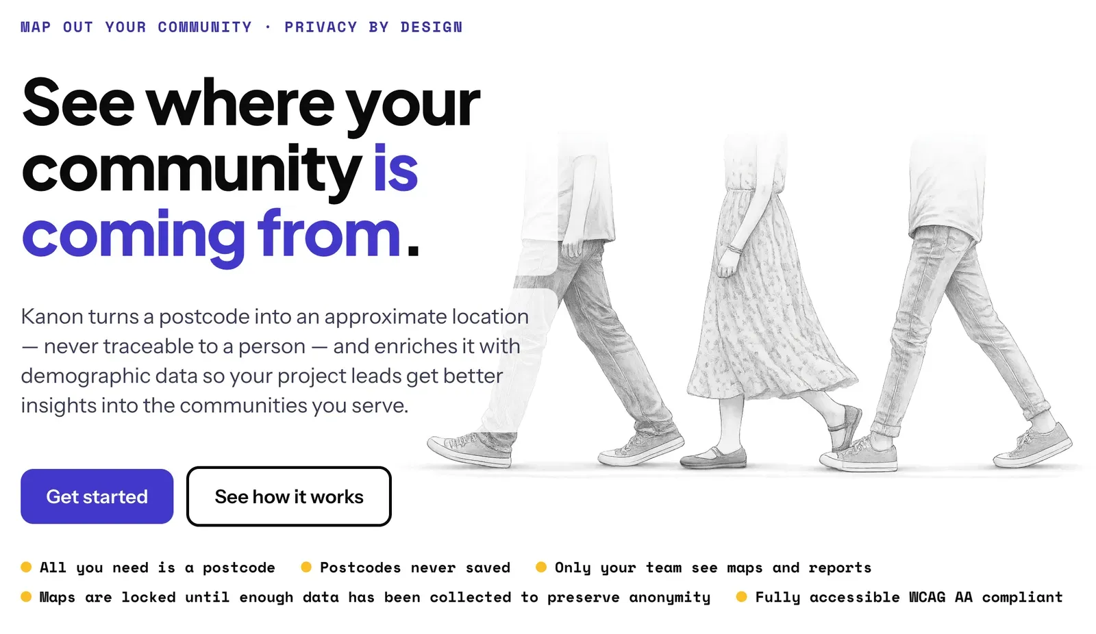
Geospatial work is usually about precision, but there is also a need for privacy protections among groups we want to work with. This has been an interesting tension between requirements and we’ve found the balance by ensuring that the only identifable piece of information that we collect (but never save) is a postcode. We use the postcode to enrich an anonymous member’s record with demographic data, work some GIS magic to make the location info statistically useful, but not traceable to an individual.
Within milliseconds of the respondent providing their postcode, it is discarded and all of the statistical data assigned to an anonymous member. Project owners cannot access reports until a certain number of participants have done the 1 question survey. The minimum number of participants is hard-coded into the system so groups cannot bypass it by reducing it to 1.
And that’s where the name Kanon comes from. It refers to K-anonymity. We started with that principle but we’ve moved way beyond it with a series of custom safeguards. If you run groups for service users that meet a specific place and would like to help us test Kanon or if you would like a demo with some test data, get in touch using the contact form.